
NYC Map
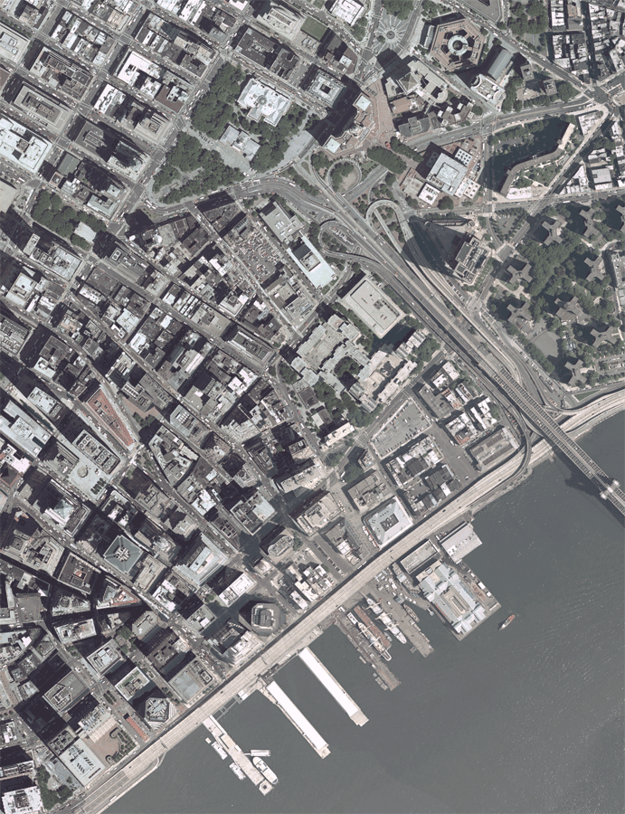
NYCMap is the citywide base map for New York City. This map is derived from aerial photographs and consists of a single and unified coverage, 1 foot in resolution. The plane used to obtain the photos contained an on board Global Positioning System which captures the precise location of each photograph and enables the creation of a single set of equations that relates the over 4,000 overlapping photographs that were captured.
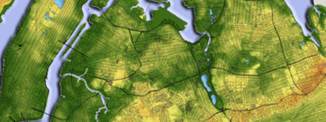
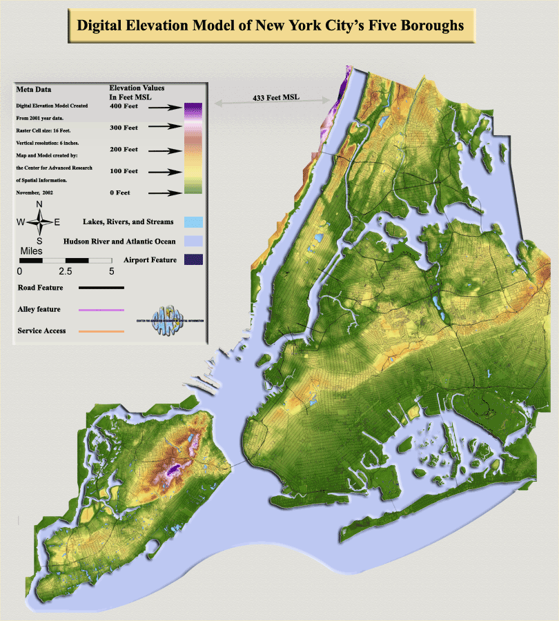
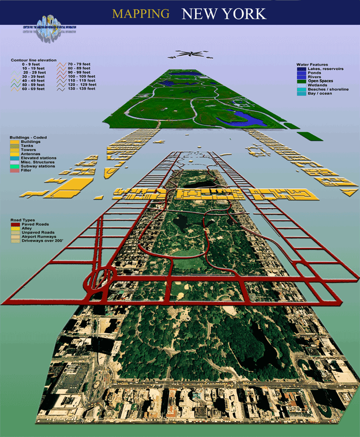
NYCMap combines the orthophotography, which is a map-like photographic digital image of all 12.5 billion square feet of New York City, and the planometric digital map, which captures over 1 million building footprints, a digital elevation model (DEM) or spot elevations, every curb-line, street centerline, transportation feature, park and a host of other structural features such as boardwalks and storage tanks for the entire city.
Data layers include
-
Administrative Areas (Community Board Districts, City Council Districts, Zip Code Boundaries, Police Precincts, Congressional, State Assembly, City Counsel and State Senate Districts, etc.)
-
Reference (Sanborn orthophotography, ISTAR true orthophotography, Planimetric Data including features digitized from aerial photography through stereocompilation.).
-
Infrastructure (Water and Sewer Facilities, Private Utility Lines, Subway Lines, Public Transportation Routes, and MTA/Port Authority.)
-
Planning (Building Outlines, Census Geography, Former Land Use, Historic Districts, Locations of Historic Significance, Landuse, Sanborn Maps, Urban Renewal Areas, Zoning.)
-
Cadastral (COGIS Parcels)
-
Facilities (Senior Centers, Hospitals, Schools, Fire and Police Stations, Libraries, Government Buildings.)
-
Attributes (HPDinfo, RPAD, IPIS, Census Data, Geosupport, DEP Water Billing and BIS.)